

No Fly Zone (NFZ) Charts
NFZ Charts provide a general overview of safe altitudes at which to fly over the No-Fly Zones present around the major landing zones. These altitudes are general and are not meant to indicate the exact altitudes at every point within a given area. In the past, the NFZ was visible but this is no longer the case except in certain locations within Area 18. With that in mind, we have created these charts as an aid for pilots.
The altitude shown is the highest NFZ altitude found within a given segment of the map. The actual boundary may be lower, and in some areas the NFZ height may change within a given segment, but the intent is to provide an altitude that works everywhere within a segment. Entering the NFZ should no longer be fatal, but this may still happen from time to time.
If an obstacle is shown, it is the highest obstacle that extends above the NFZ, but there may be others in the map segment.
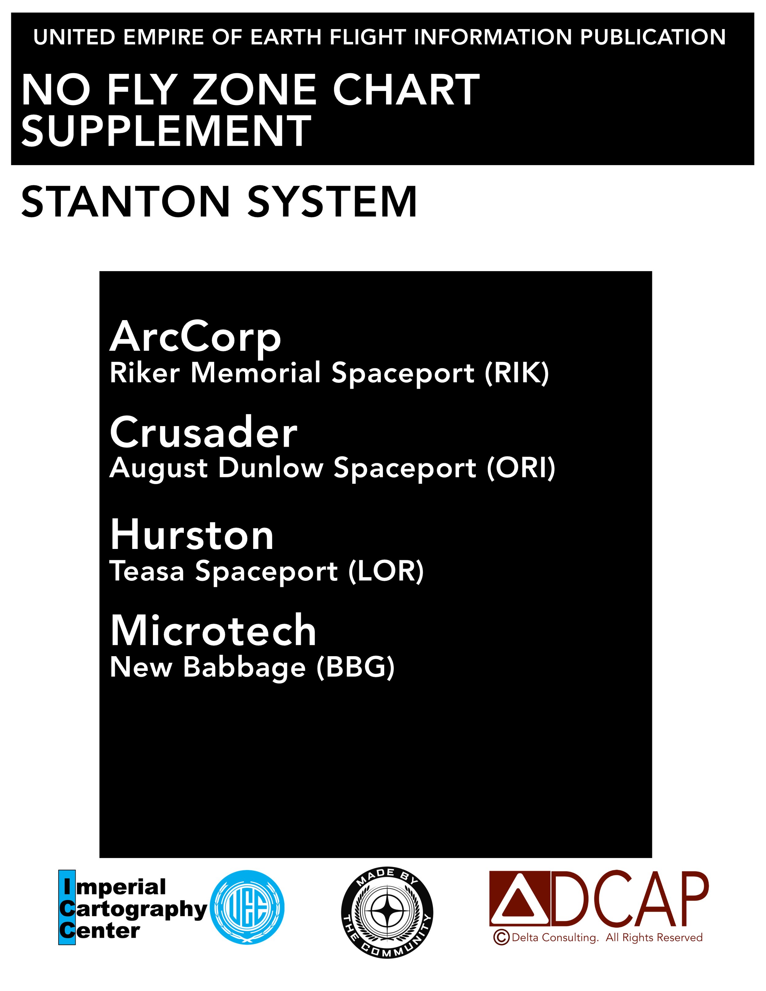
No Fly Zone Charts
Click the image to view the charts.